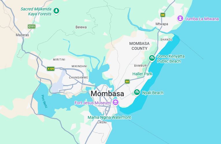
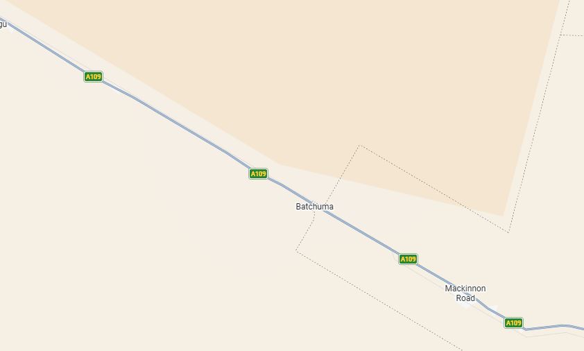
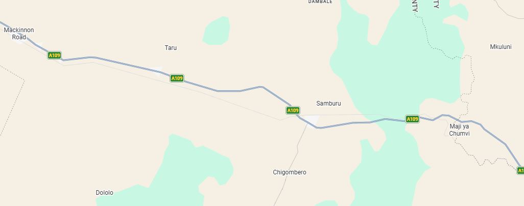
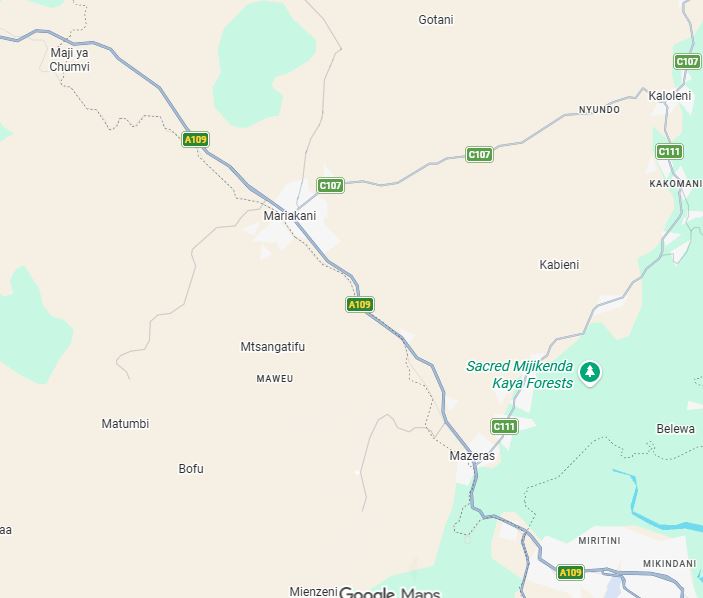
Google Map view of Mombasa Road
Mombasa Road (A109) Guide (2026)
If there is one road that powers Kenya's economy, it is Mombasa Road, officially designated as A109. Stretching from Nairobi to Mombasa, this highway connects the country's capital with the Port of Mombasa, the busiest seaport in East Africa.
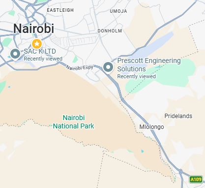
Google Map view of Mombasa Road
Every day, thousands of trailers, buses, tankers, tippers, delivery vans, and private vehicles travel along this corridor transporting fuel, food, construction materials, imported goods and exports destined for Uganda, Rwanda, South Sudan, Burundi and the Democratic Republic of Congo.
For transport companies, logistics firms and truck owners, A109 is more than a road—it is the backbone of business.
Companies transporting goods between Nairobi and Mombasa rely on this highway every day, making it one of the most strategically important roads in East Africa.
Mombasa Road at a Glance
| Feature | Details |
| Road Number | A109 |
| Starts | Nairobi |
| Ends | Mombasa |
| Approximate Distance | 480 km |
| Counties Crossed | Nairobi, Machakos, Kajiado, Makueni, Taita Taveta, Kilifi, Mombasa |
| Road Type | International Trunk Road |
| Main Users | Trucks, buses, PSV, cargo transport, tourists |
Major Towns Along Mombasa Road
Travelling from Nairobi towards the coast, you'll pass through several important towns.
Nairobi
The journey begins in Nairobi before heading through the industrial corridor towards Athi River.
This section carries some of the highest traffic volumes in Kenya because it serves industries, warehouses and logistics companies.
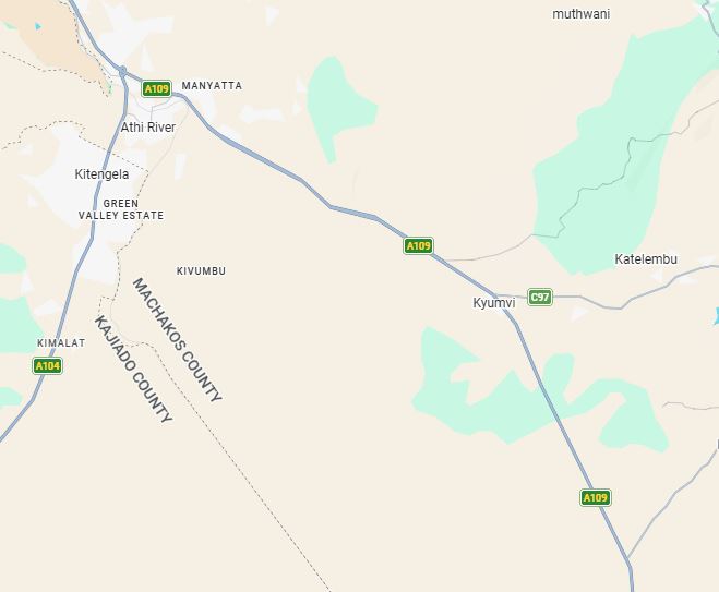
Athi River
Known for:
- Cement factories
- Inland Container Depot (ICD)
- Manufacturing industries
- Logistics parks
- Export processing zones
Many heavy trucks begin or end their journeys here.
Kitengela
Although slightly off the main highway, Kitengela has grown into a major residential and commercial centre serving Nairobi commuters.
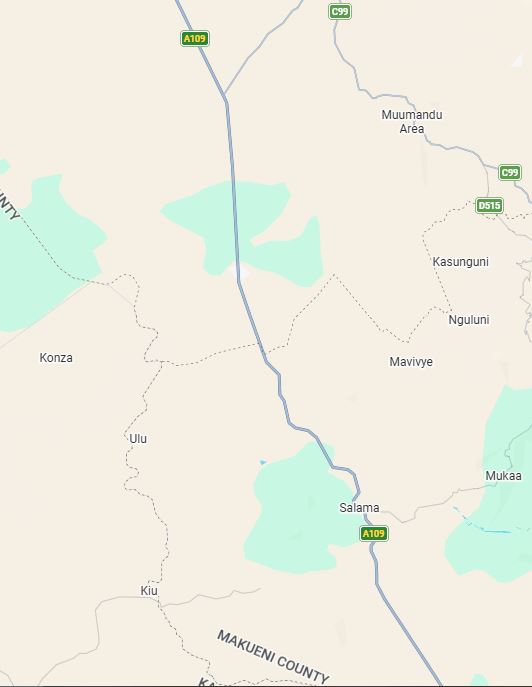
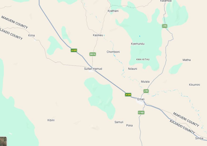
Sultan Hamud
Sultan Hamud is a popular stop for:
- Fuel
- Food
- Vehicle inspections
- Driver rest
Long-distance buses frequently stop here.
Emali
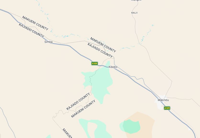
Emali is one of Kenya's busiest transport junctions.
Here travellers branch towards:
- Amboseli National Park
- Loitokitok
- Wote
- Kibwezi
Many truck drivers refuel and rest in Emali.
Kiboko
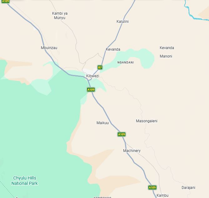
Kiboko is famous for:
- Livestock transport
- Agricultural research
- Roadside markets
It is another important stop for heavy commercial vehicles.
Kibwezi
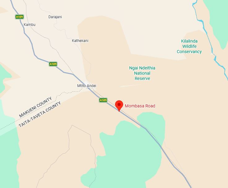
Kibwezi connects travellers heading to:
- Kitui
- Makueni
- Chyulu Hills
- Tsavo National Park
It is also an important fuel and accommodation centre.
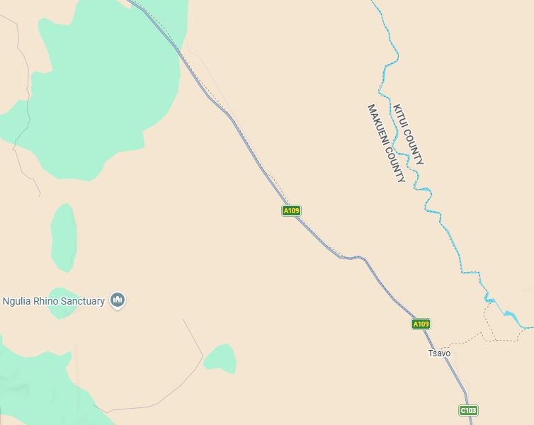
Tsavo Area
The highway cuts through the famous Tsavo ecosystem, where travellers occasionally spot:
- Elephants
- Zebras
- Giraffes
- Antelopes
Drivers should remain alert because wildlife crossings are common.
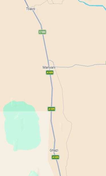
Voi
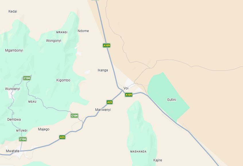
Voi is one of the largest towns on A109.
It serves as the gateway to:
- Tsavo East National Park
- Taita Hills
- Taveta
- Tanzania Border
Many logistics companies have depots here.
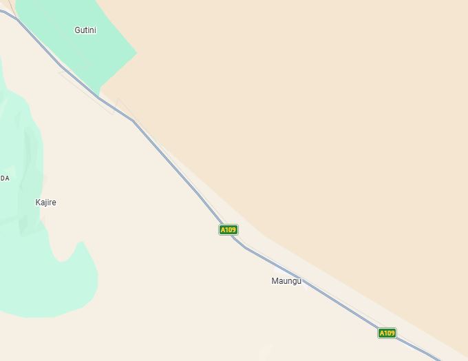
Mackinnon Road
Historically important as a railway town, Mackinnon Road remains an important stopping point for commercial vehicles travelling between Nairobi and Mombasa.
Mariakani
Mariakani marks the final major stop before entering Mombasa County.
It hosts:
- Industries
- Warehouses
- Distribution centres
- Logistics companies
Traffic usually begins increasing significantly after Mariakani.
Google Map view of Mombasa Road
Mombasa
The highway finally reaches Mombasa, home to:
- Port of Mombasa
- Container terminals
- Oil terminals
- Export processing industries
- Freight forwarding companies
This is where much of Kenya's international trade begins or ends.
Google Map view of Mombasa Road
Why Mombasa Road Is So Important
A109 supports almost every sector of Kenya's economy.
It carries:
- Imported goods from Mombasa Port
- Fuel tankers
- Construction materials
- Agricultural produce
- FMCG distribution
- Heavy equipment
- Export cargo
- Tourist traffic heading to the Coast
Without Mombasa Road, supply chains across East Africa would slow dramatica
Google Map view of Mombasa Road