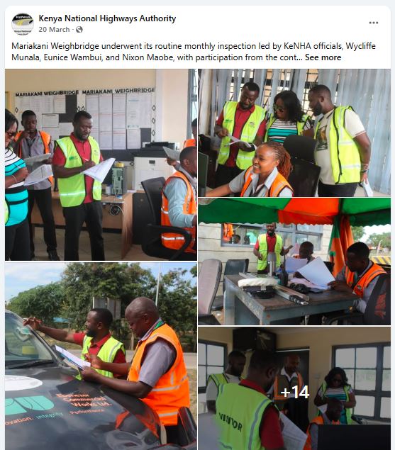
Kenya's highway network is the backbone of East Africa's transport industry, carrying everything from construction materials and agricultural produce to fuel, imported goods, and heavy machinery. To protect these roads from premature damage caused by overloaded trucks, the Kenya National Highways Authority (KeNHA) has established weighbridge stations across the country's major transport corridors.
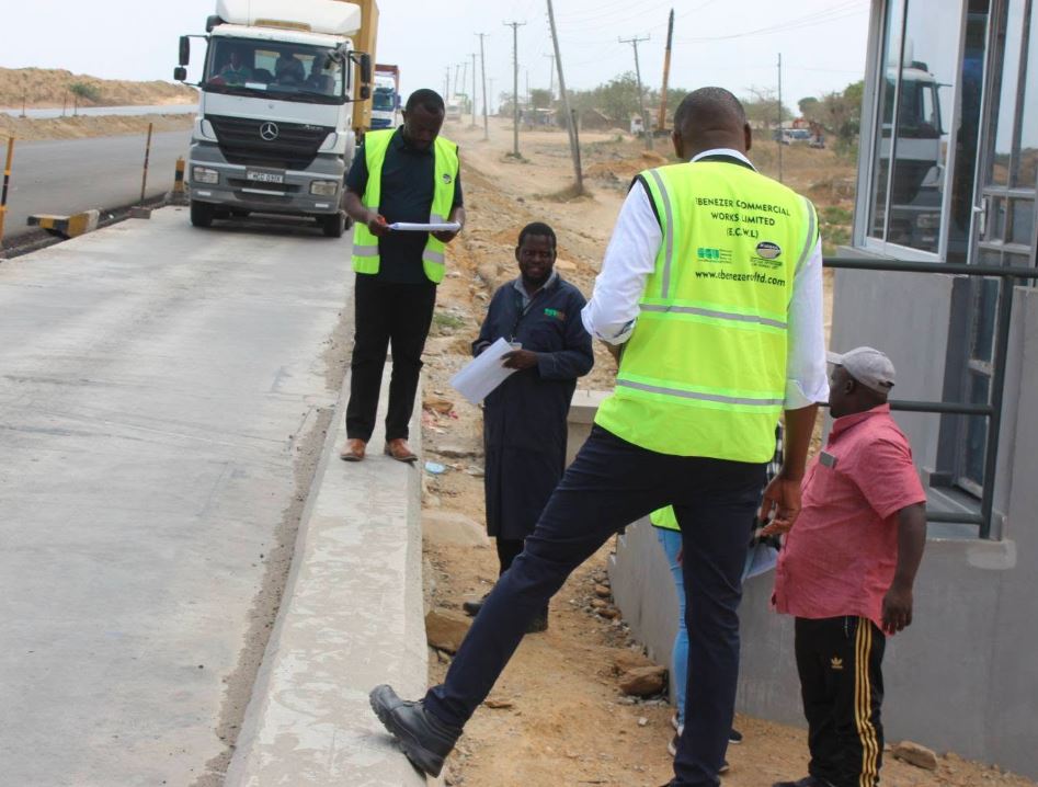
Whether you own a single truck or manage an entire fleet, knowing where these weighbridges are located can help you plan routes, remain compliant, and avoid costly penalties.
💰 Bid for This Space
What Is a Weighbridge?
A weighbridge is a vehicle weighing station used to determine whether commercial vehicles comply with Kenya's legal axle load and gross vehicle weight limits. These stations are designed to protect highways, bridges, and other road infrastructure while promoting safer transport operations. The regulations also provide for static, virtual, and mobile weighing systems.
Static vs Virtual Weighbridges
Kenya now operates two main categories of weighbridges.
Static Weighbridges
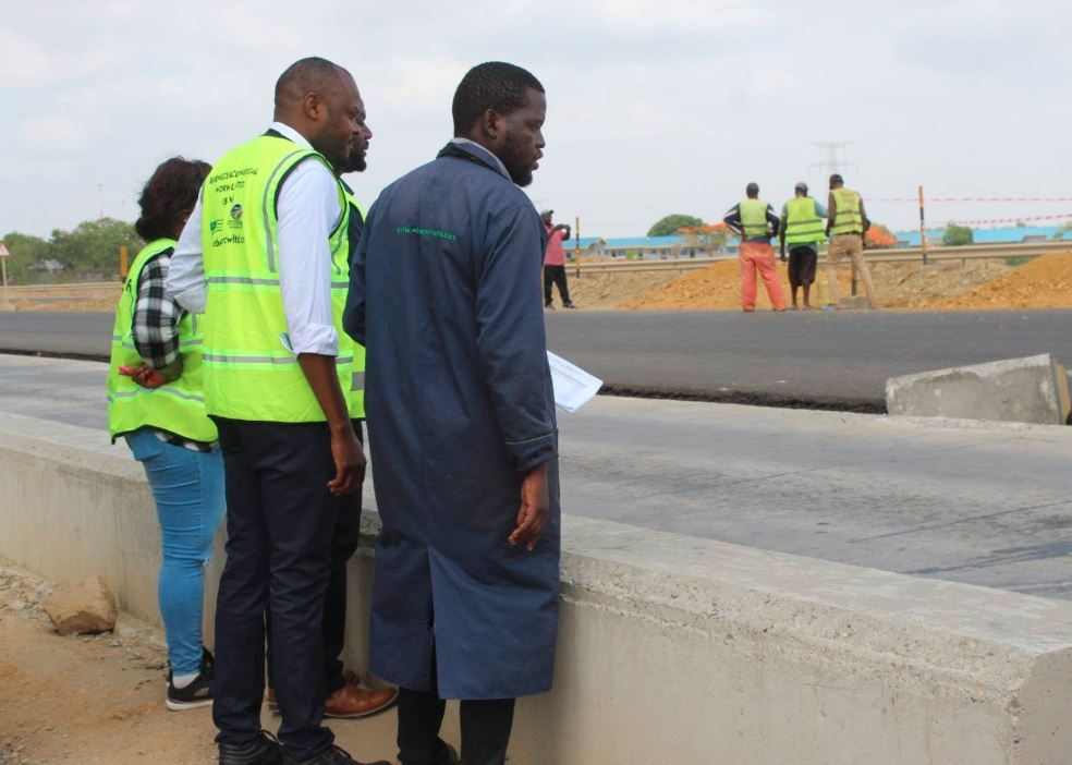
Static weighbridges require trucks to enter a physical weighing station where authorized officers inspect the vehicle and measure its weight before allowing it to continue.
Virtual Weighbridges
Virtual weighbridges rely on modern technology and monitoring systems to enforce vehicle load compliance along major highways. They improve traffic flow while supporting continuous weight monitoring.
Complete List of Weighbridge Locations in Kenya
| Weighbridge Station | Road |
| Mariakani | A8 |
| Mtwapa | B8 |
| Athi River | A8 |
| Isinya | A2 |
| Juja | A2 |
| Mai Mahiu / Suswa | B7 |
| Gilgil | A8 |
| Kanyonyo | A3 |
| Webuye | A8 |
| Malaba | A8 |
| Awendo | A1 |
| Rongo | A1 |
| Ahero | A12 |
| Busia | A12 |
| Dongo Kundu | Mombasa Southern Bypass (A8) |
| Eldoret | A8 |
| Mayoni | B12 |
| Laisamis | A2 |
| Kamulu | B63 |
| Kaloleni | B91 |
| Yatta | A3 |
| Sabaki | A7 |
| Mwatate | A6 |
| Kibwezi | A9 |
| Emali | A5 |
| Malili | A8 |
| Madogo | A3 |
| Mau Summit | A8 |
| Kajiado | A2 |
| Eldama Ravine | B77 |
| Cheptiret | A8 |
| Mukumu | A1 |
| Kapenguria | A1 |
| Southern Bypass – Kikuyu | A8 |
| Southern Bypass – Mombasa | A8 |
| Kamagambo | A1 |
💰 Bid for This Space
Kenya's Main Freight Corridors
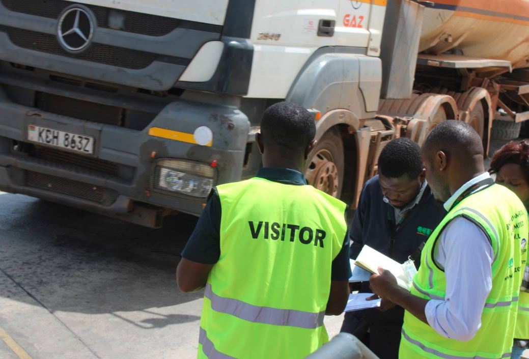
Many of Kenya's weighbridges are strategically positioned along the country's busiest transport routes.
A8 Corridor
The A8 is Kenya's busiest freight highway, linking Mombasa Port with Nairobi and continuing toward Nakuru, Eldoret, Malaba, and Uganda. It hosts numerous weighbridges, including Athi River, Mariakani, Gilgil, Webuye, Malili, Mau Summit, Cheptiret, Dongo Kundu, and the Southern Bypass.
A2 Corridor
The A2 serves transport moving between Nairobi, Isinya, Kajiado, and northern Kenya. Major weighbridges on this corridor include Juja, Isinya, Kajiado, and Laisamis.
A1 Corridor
Western Kenya's A1 corridor features weighbridges at Awendo, Rongo, Mukumu, Kapenguria, and Kamagambo, supporting transport across the region.
Why Truck Drivers Should Know These Locations

Understanding where weighbridges are located helps transporters:
- Plan efficient delivery routes.
- Ensure vehicles comply with legal weight limits before travel.
- Reduce delays caused by overload violations.
- Improve fleet scheduling.
- Protect vehicles from excessive wear and tear.
- Avoid costly fines and operational disruptions.
Are You Required to Stop?
Yes. Commercial vehicles directed by authorized officers or road signage must submit to weighing. Attempting to bypass a weighbridge or failing to comply with lawful instructions may result in enforcement action under the regulations.
🚛 Looking for a driving job? Join the Monolith Africa Driver Database and let transport companies discover your skills. Register today.